Aurora Creative Services is proud to bring you:

Mawlers’ Big Adventure ’04:
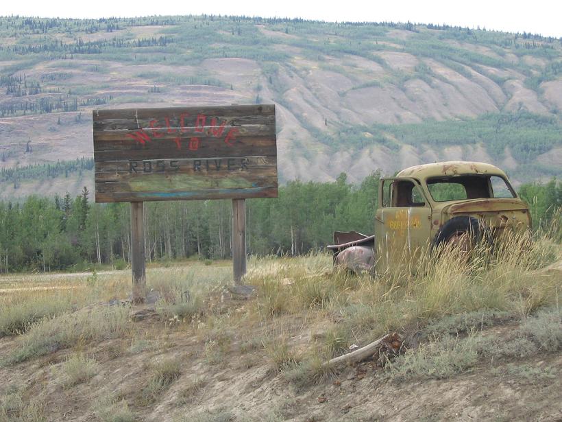
Watson Lake to Faro - The Pictures


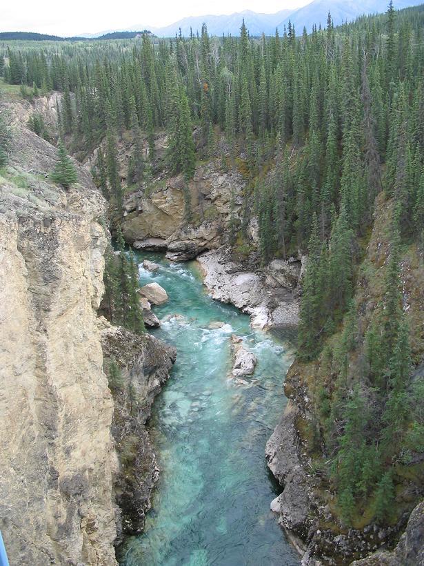
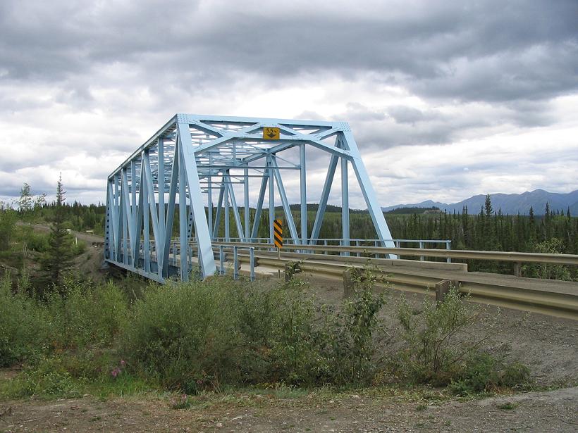
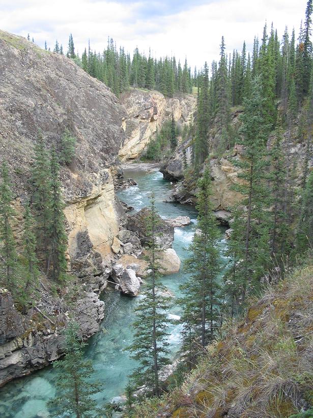
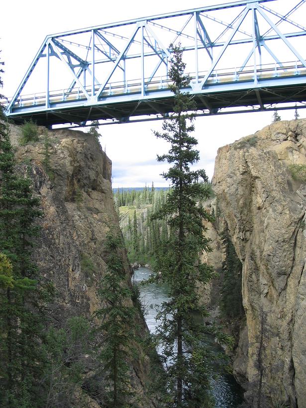
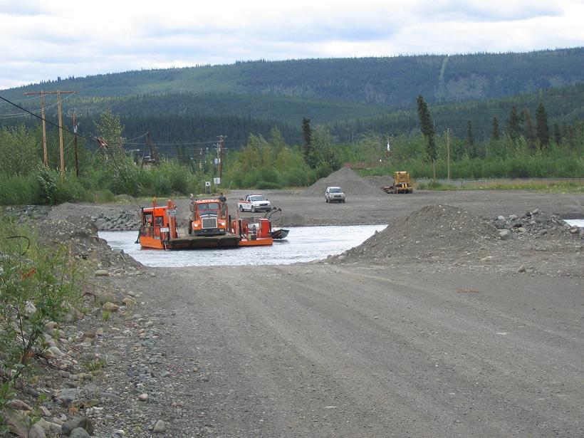
Here are some highlights of our trip between Watson Lake and Faro, where we drove up the Robert Campbell Highway, with side trips up the Nahanni Range Road (Cantung Road) and a brief jog up the North Canol Road to the Pelly River.

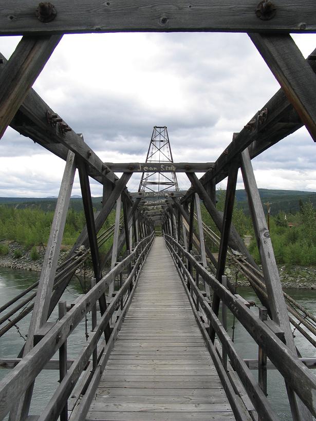
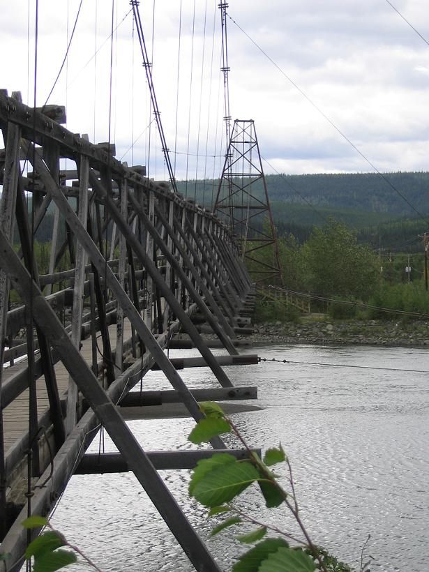
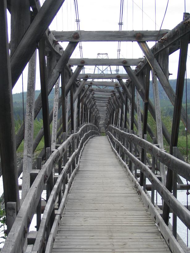
The other photos have been mostly amusing or documentary in theme, but these are more like landscapes. We are attempting to drop these pictures in between the narratives for each day, so they will crop up here and there.


Frances River Bridge on the Nahanni Range Road
Frances River, looking south east, near the Nahanni Range Road


Lapie Gorge, looking south
Lapie Gorge Bridge, looking south
Lapie Gorge, looking south


Lapie Gorge, looking north
Pelly River ferry at Ross River
Pelly River foot bridge, looking south west; look closely, this thing is actively twisting and turning in the breeze


Pelly River, looking up river from the foot bridge
Pelly River foot bridge, looking south west
Pelly River foot bridge, looking north east


  The Ross River welcome sign is reminiscent of the junk left out on the tundra by the US Army during the construction of the Canol Road and Canol Pipeline, which went through Ross River. The Canol Road is still here, but only goes to the border with the Northwest Territories.


The previous installment:
Watson Lake to Faro

The next installment:
Faro to Dawson City

Back to Great White North Trip main page


Back to Mawler Home

All materials © 2004 Lea Ann Mawler & Stuart Mawler