|

|
|
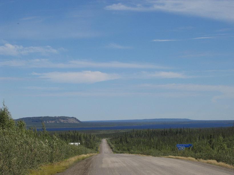
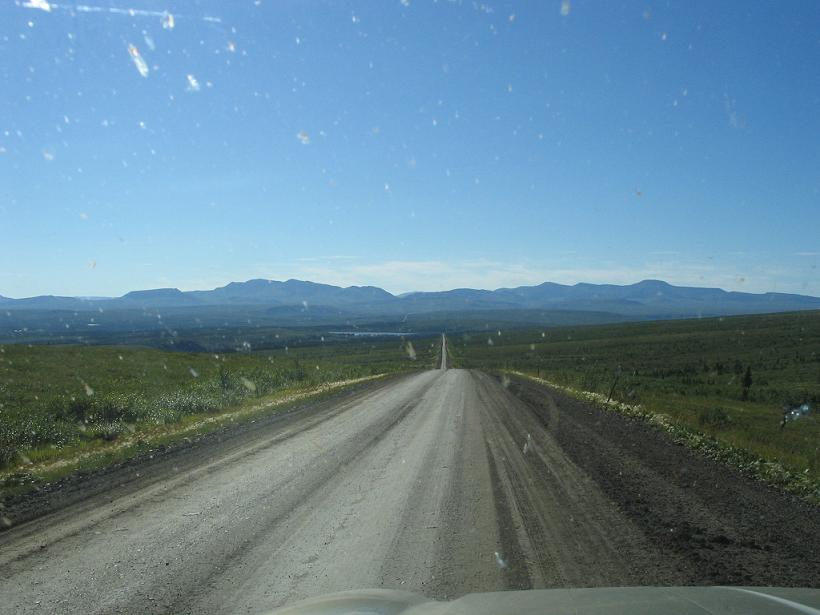
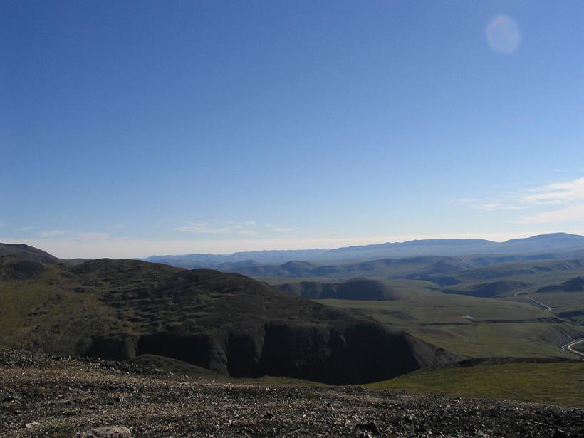
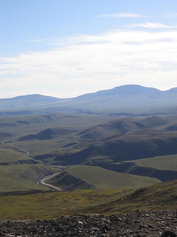
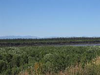
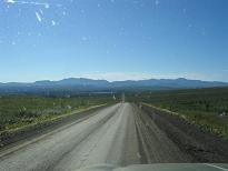
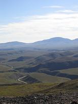
Looking back up north on the Dempster Highway, you can see Campbell Lake, where we went canoeing, in the distance.
|
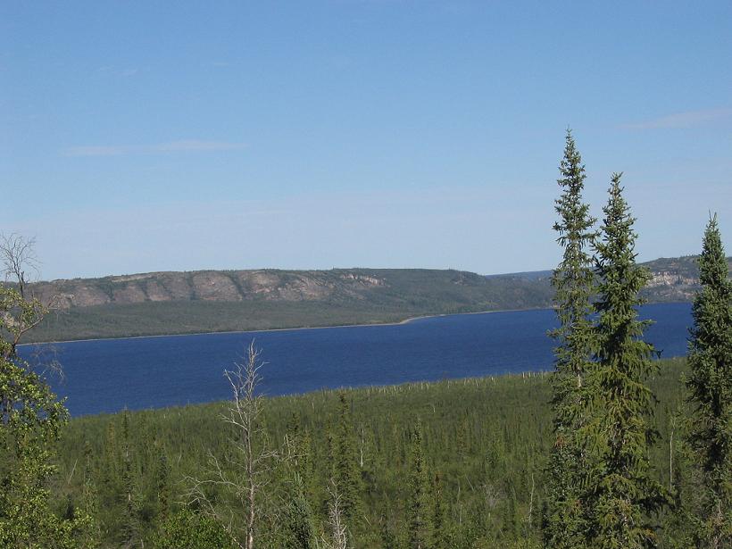
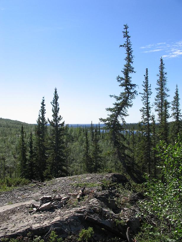
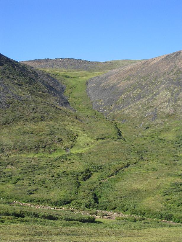
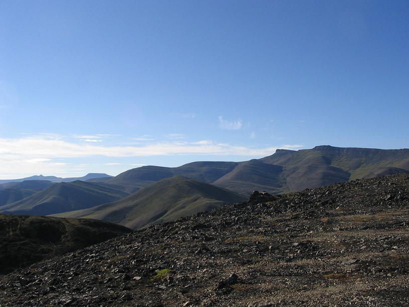
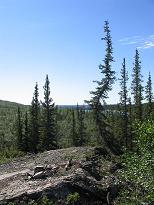
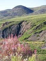
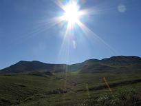
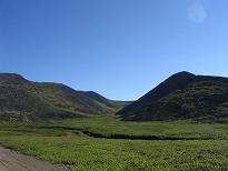
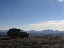
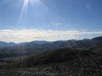
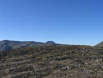
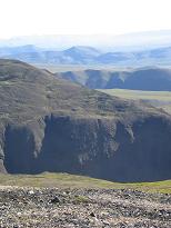
We hiked up onto a hill to get a better view back toward Campbell Lake and the cliffs on the other side, where falcons are said to nest.
|
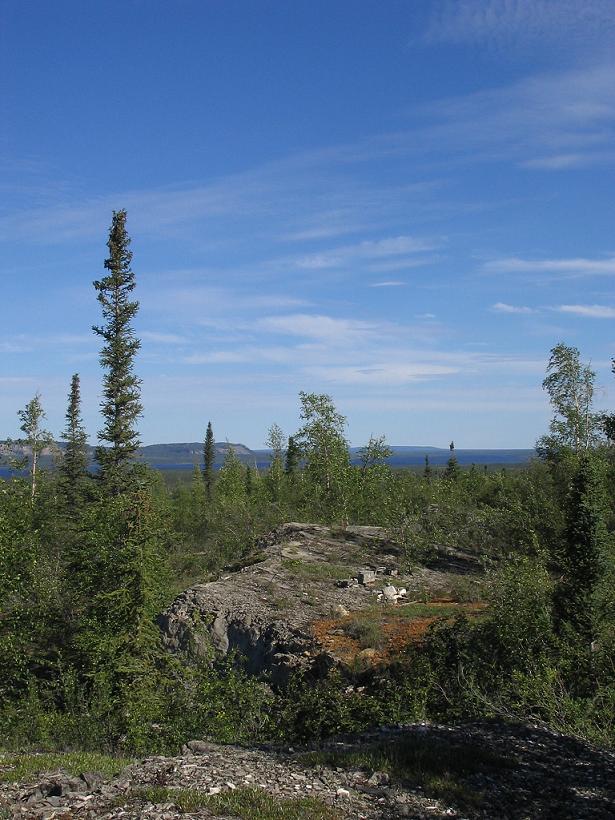
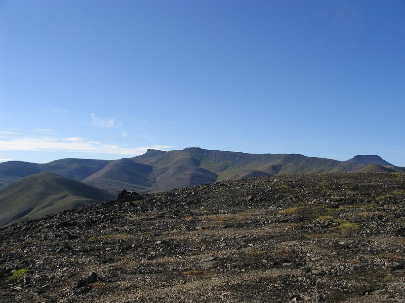
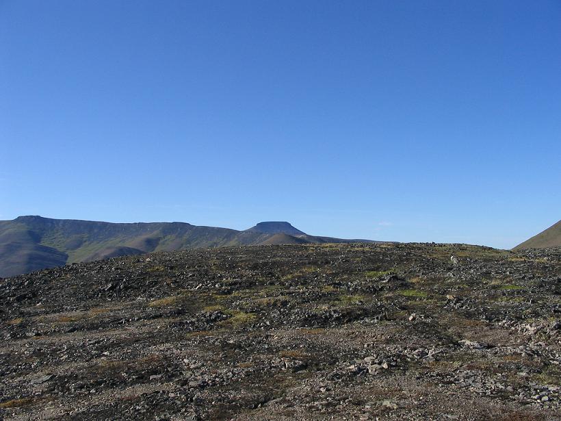
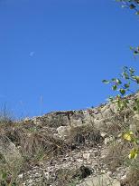
This is the ridge we were standing on to get our nice view. The sky was just a gorgeous blue with wispy clouds. Pretty much perfect.
|
|

|
|
|
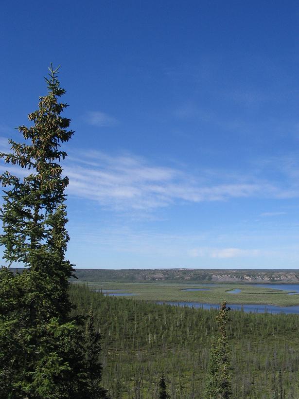
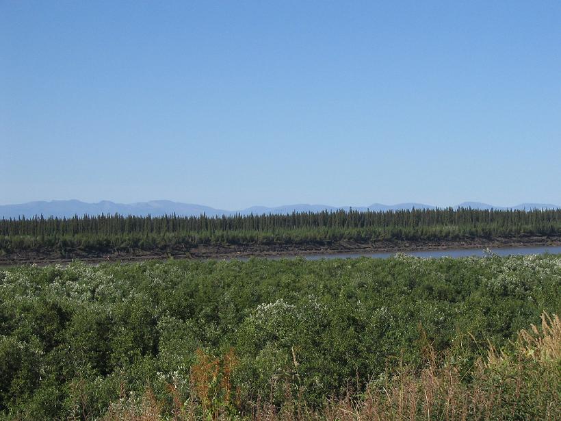
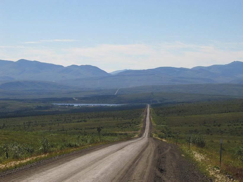
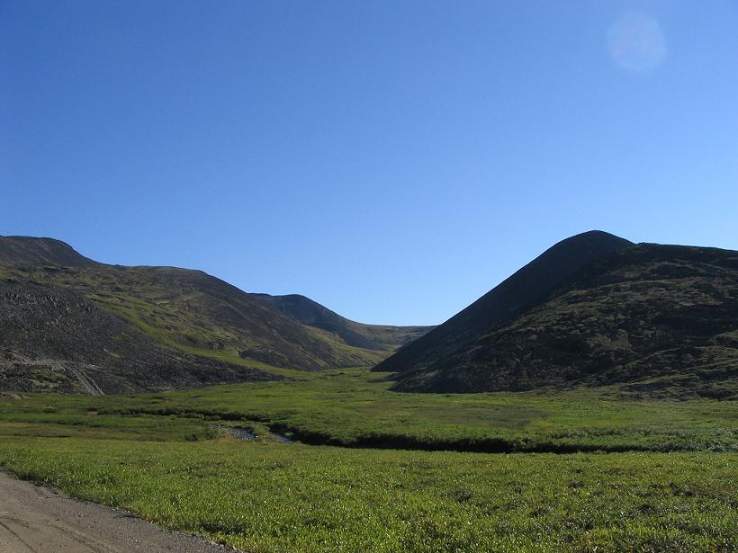
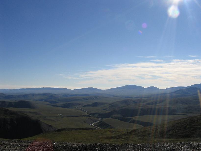
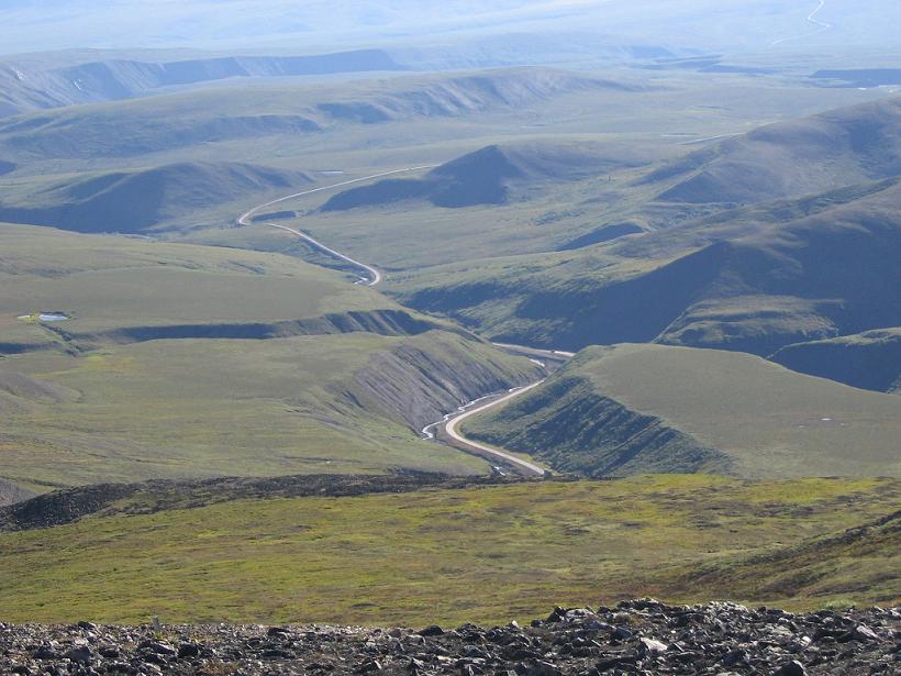
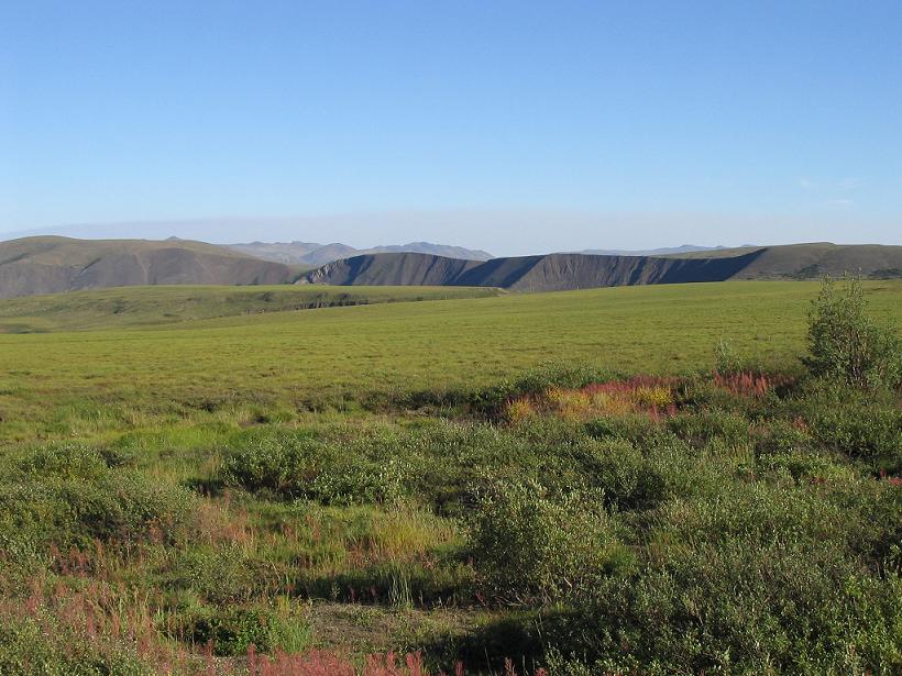
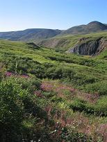
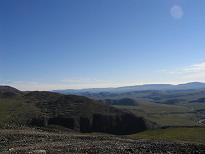
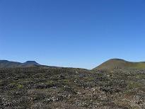
Everywhere you turn, there is a good picture. Here, you can see the southwest end of Campbell Lake, where it turns back into Campbell Creek, which runs down to the MacKenzie River.
|
Apparently, this tree was planted by Dr. Seuss.
|
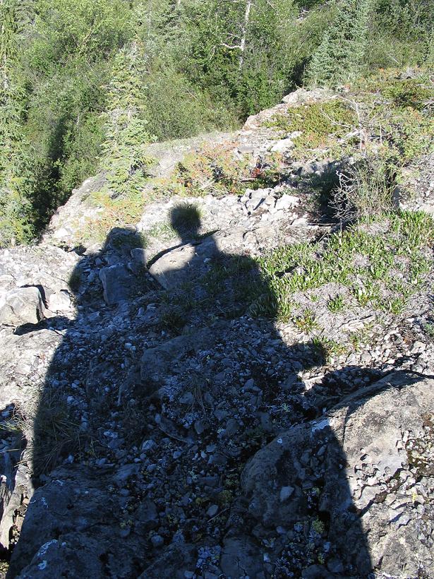
Here we are!
|
|
|
|
|
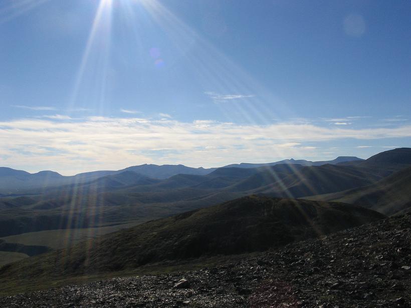
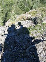
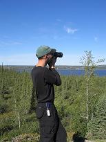
Stuart caught in the act. Ironically, he is actually taking a picture very much like the one on the end of the top row.
|
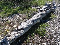
Nice texture on some old dead wood.
|
The moon was beautiful in the clear sky, so we tried to get a picture of it here.
|
|
|
|
|
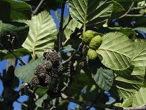
Like most plants up here, the pine cones are also tiny.
|
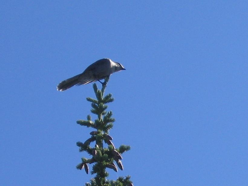
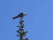
This is a grey jay. They are not tiny.
|
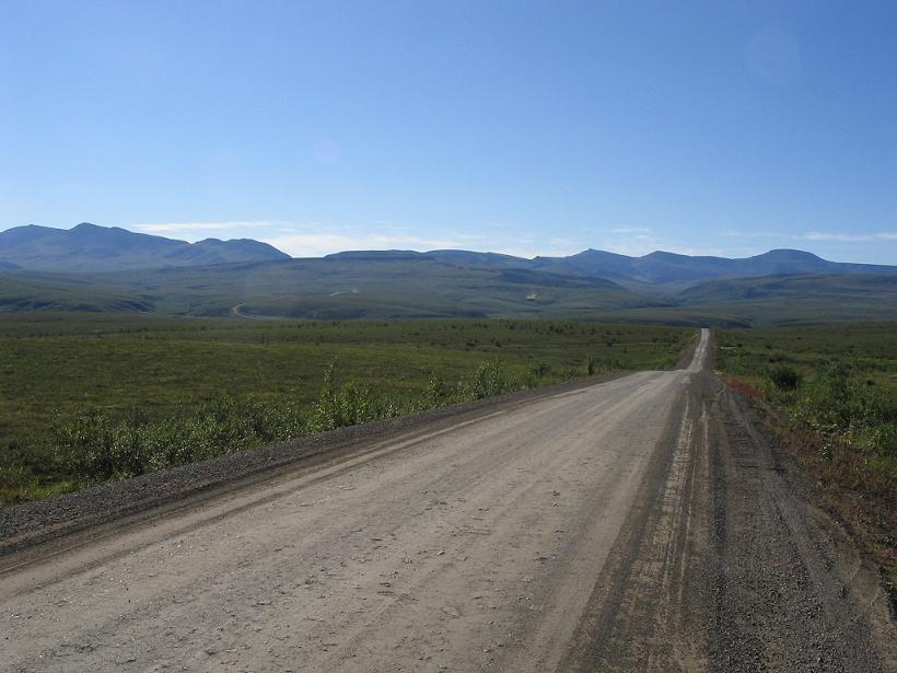
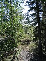
Our trail off the road was beautiful in the sunlight.
|
|

|
|
|
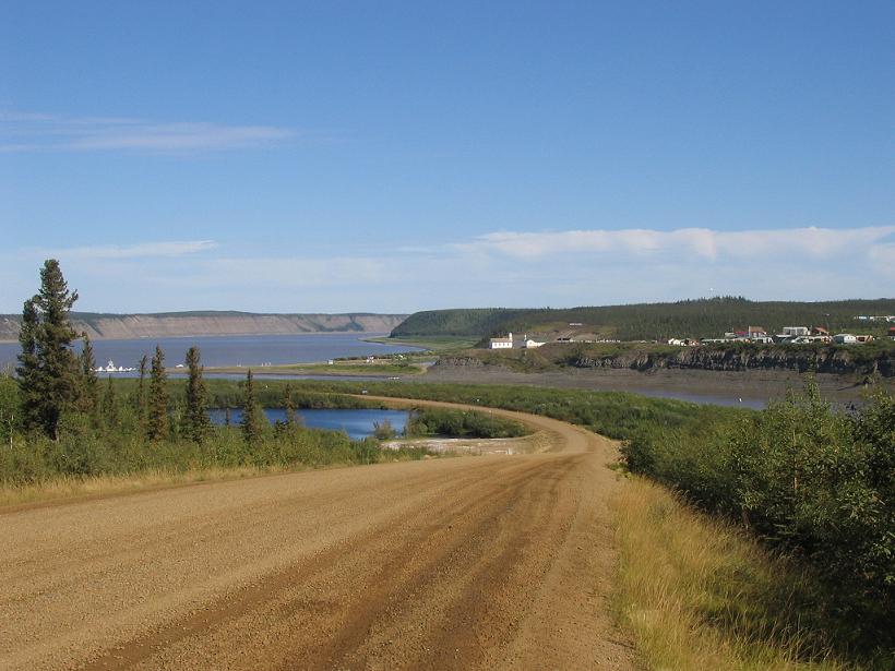
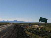
The little hamlet of Tsiigehtchic is beautiful in the sunlight, of which there was none on the way up.
|
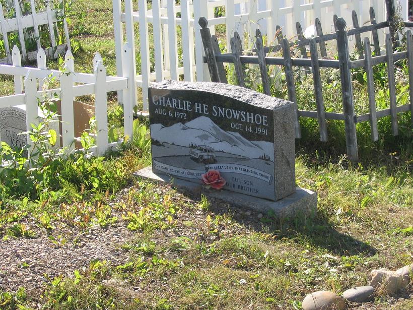
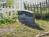
In Lea Ann's family, there was a person who always used a pronoun in addition to the proper name. They might say "Charlie, he". In this case, it looks like "Charlie H.E." is actually this gentleman's name. Can you tell what the weather is like by the last names of the indigenous population?
|
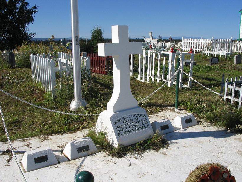
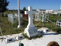
This is the marker for the Lost Patrol, which went missing in the early 20th Century. Seems they lacked a native guide and froze to death out on the tundra. Even Mounties are not infallible up here.
|
|
|
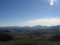
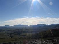
The next row is a panorama looking west from the Fort MacPhereson cemetary, out across the Peel River valley. The panorama starts in the south, turning clock-wise to the north.
|
|
|
|
Looking west southwest.
|
Looking west.
|
Looking west northwest
|
|
|
|
|
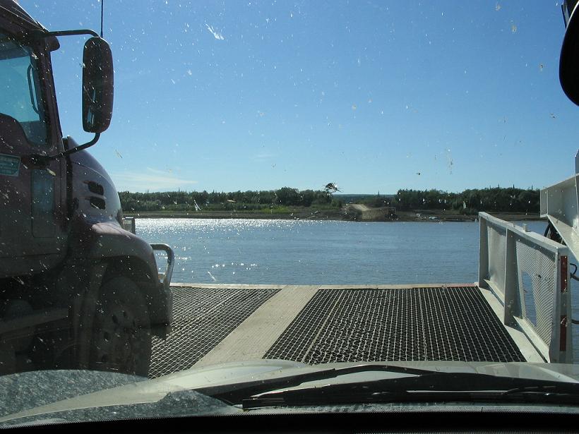
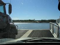
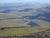
This is view of the Peel River ferry from inside the car. The truck to our left is a full-size 18-wheeler. It hangs off each end of the ferry by a little bit. Note also, the huge ding in the windshield near the horizon, left of center.
|
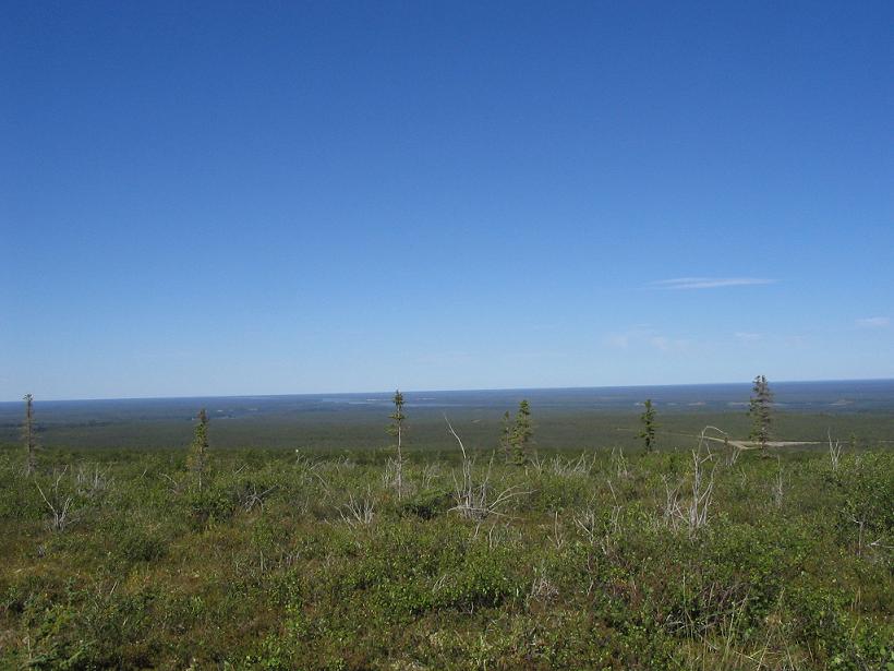
From a high spot, we could look down on the Peel River valley we had just crossed on the ferry.
|
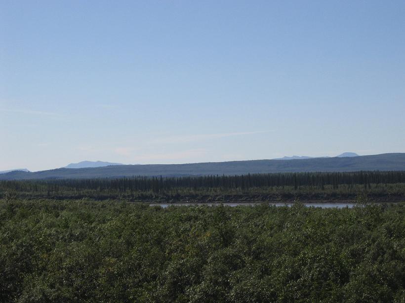
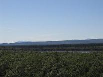
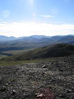
Another shot of the Peel River valley, just to show how expansive and flat this place is.
|
|
|
|
|
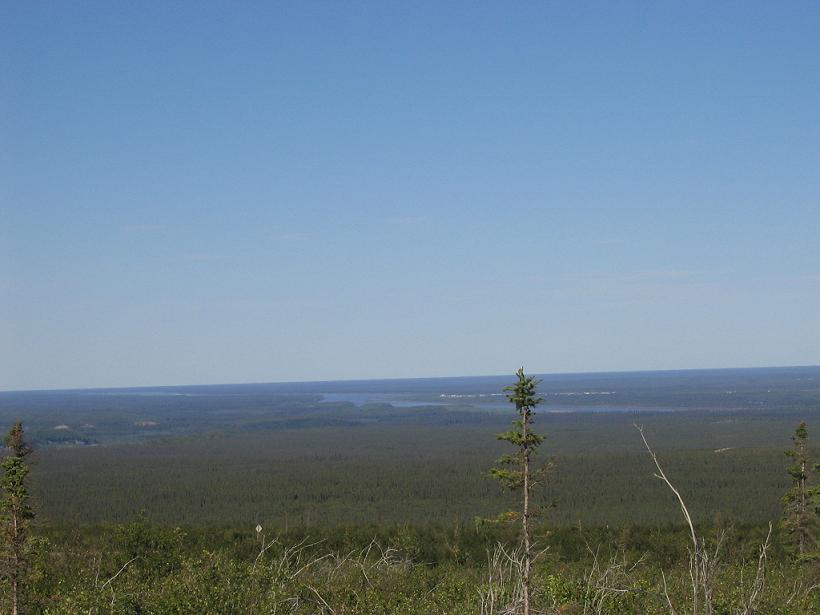
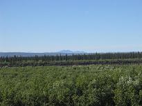
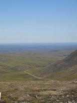
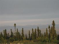
This is our view as we drive south toward the Richardson Range.
|
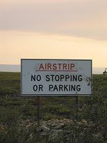
In a pinch, the road doubles as a landing strip. They prefer if you do not dilly-dally on the runway, please.
|
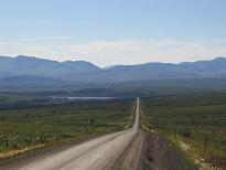
Still looking south toward the Richardsons, the road goes ever on...
|
|
|
|
|
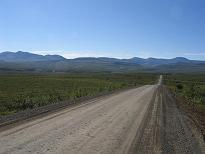
And on, and on... Note that in this picture, and the last one on the previous row, you can just barely see the road curling over the ridges in the distance. Sometimes, you can spot dust storms from lone cars.
|
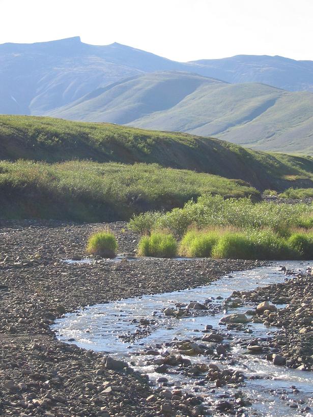
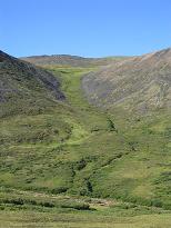
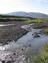
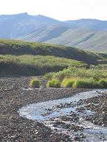
Just as we entered the eastern hills of the Richardson Range, we saw this beautiful little creek valley, so we stopped to take some pictures.
|
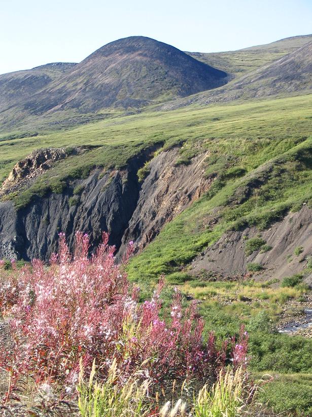
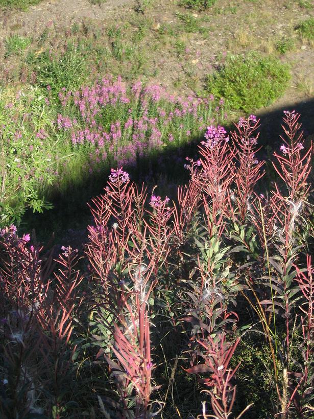
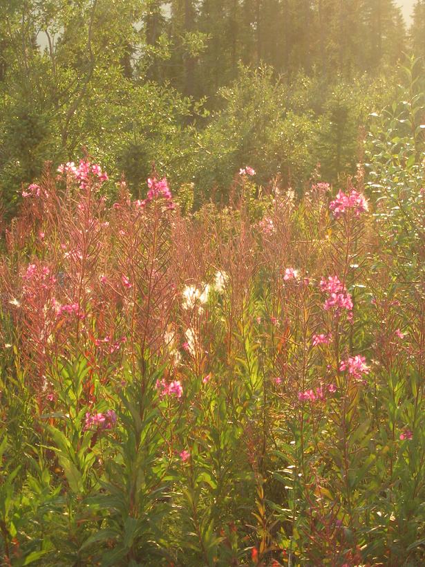
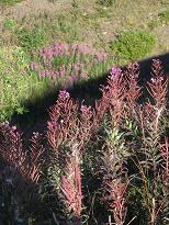
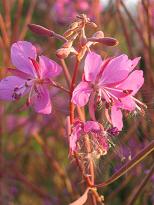
The fireweed is starting to go to seed, but it is still nice against the green hills.
|
|
|
|

|
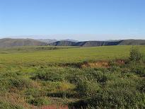
A wider shot of the same valley.
|
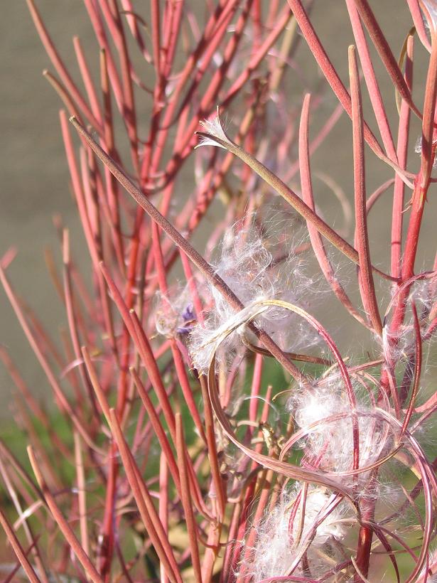
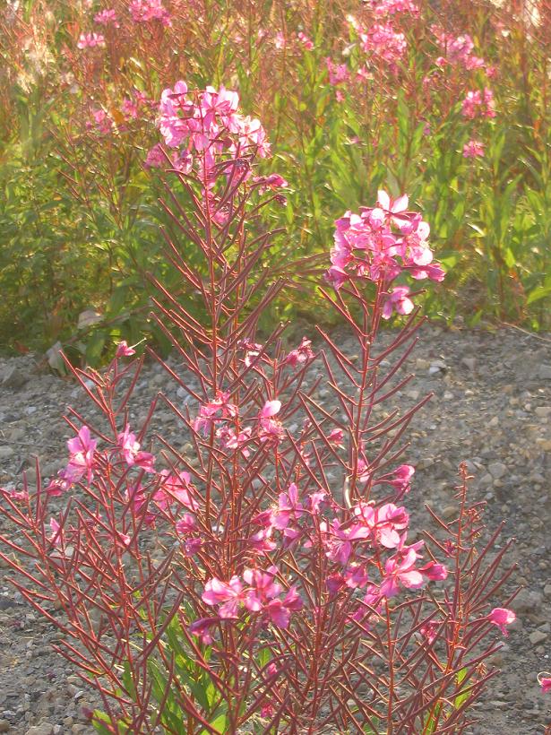
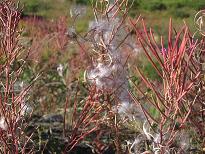
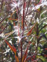
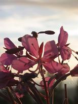
Here is a close-up of the fireweed going to seed.
|
More seedy fireweed.
|
|

|
|
|
Lea Ann captured this shot almost at random and happened to get our Jeep in the background.
|
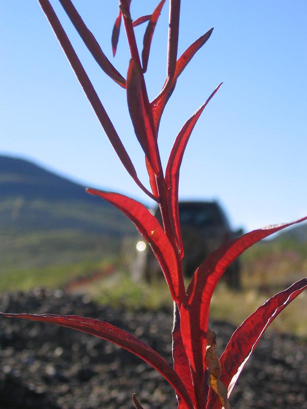
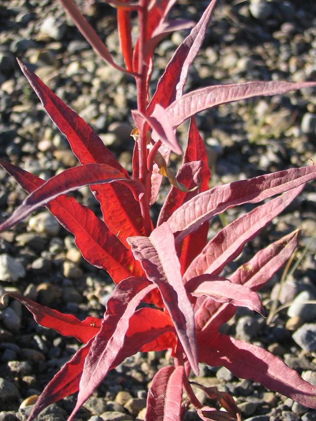
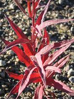
The red leaves on the fireweed start out green and change in the fall.
|
Being tall plants, the fireweed manages to stick up into the sunshine, even on the shady side of the road embankment, making a nice contrast with the dark shadow.
|
|
|
|
|
Still more seedy fireweed, with a bit of shine on the cottony strands.
|
Fireweed silhouetted against the bright blue sky and a strange shiny object.
|
That strange shiny object seems to dangle over the Richardson Range.
|
|
|
|
|
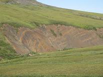
This is a "rock glacier", which is similar to a regular glacier. Rock glaciers are mostly rock, with a bit of ice, though they move just like regular glaciers.
|
Along the creek, there was this one fantastic place where you can see the folds in the rocks that make up the Richardson Range.
|
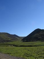
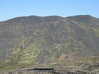
When we stopped here, going north, you could barely see these mountains. Now look at them!
|
|
|
|
|
This, like the last picture, previous row, is the top of the pass over the Richardson Range. We are very happy it is sunny today.
|
We are even happier to have taken a side-trip up the hill across from the previous picture. It goes up to a microwave tower, whence we took this picture and the next several. This looks west.
|
This picture looks east (northeast) in the direction whence we just came.
|
|
|

|
|
This picture also looks east and we like the look of the moss and lichens growing in curly patterns over the loose rock of the hillside.
|
Another Jeep ad candidate?
|
Or how about this one? You have to admit, it looks impressive.
|
|
|
The next three rows form a panorama looking west from the microwave tower hill in the Richardson Range. The panorama starts in the south, turning clock-wise to the north.
|
|
|
|
Looking south from the microwave tower hill.
|
Looking south southwest.
|
Looking southwest.
|
|
|
|
|
Looking west southwest from the microwave tower hill.
|
Looking west.
|
Looking west northwest.
|
|
|
|
|
Looking northwest from the microwave tower hill.
|
Looking north northwest.
|
Looking north.
|
|
|
|
|
We really liked the shadows of the hills in the raking light.
|
Here you can see the Dempster Highway (and a creek to its left) snake away into the distance.
|
Another shot of the Dempster leading south. The horizon in the distance is the border with the Yukon Territory.
|
|
|
|
|
This mountain and the creek intrigued us, so we stopped.
|
There are more pictures just like these two.
|
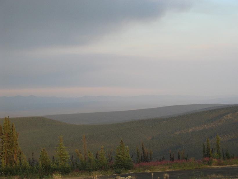
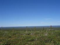
The interesting things here are the spots of fall color in the foreground, the smooth texture of the tundra juxtaposed with the sharp ridge in the distance, and then the line of haze just above the horizon. This is smoke from way out west.
|
|
|
|
|
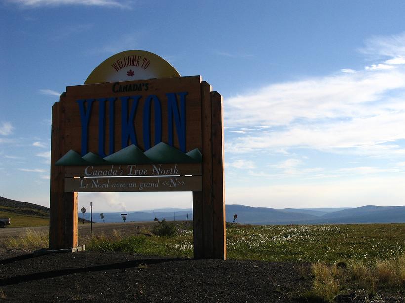
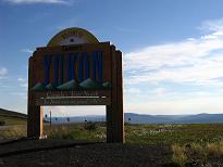
We finally make it to the Yukon border. In french, the sign literally says "The North with a capital N".
|
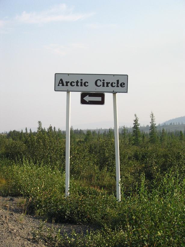
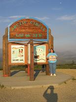
We stopped to take a touristy shot of the Arctic Circle interpretive sign. Hi Jackie!
|
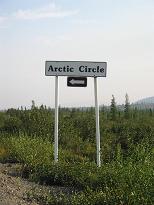
Something about this sign just seems odd. It does not say something like "Crossing Arctic Circle". It says, go left for Arctic Circle. If that were not odd enough, it points east and the circle runs east-west (in case you did not know).
|
|
|
|

|
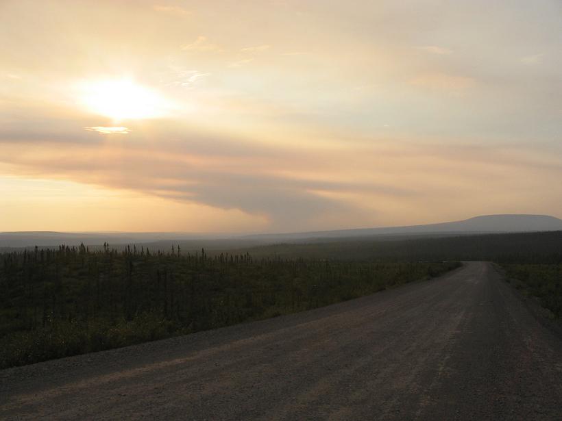
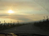
Suddenly, it become apparent that there is a fire somewhere to the west.
|
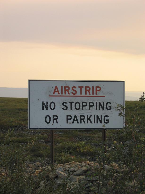
Another spot where authorities prefer you do not pause your car. You never know when a plane will try to land on the same stretch of road.
|
We paused and got out of the car to get this one because it was so impressive.
|
|
|

|

|
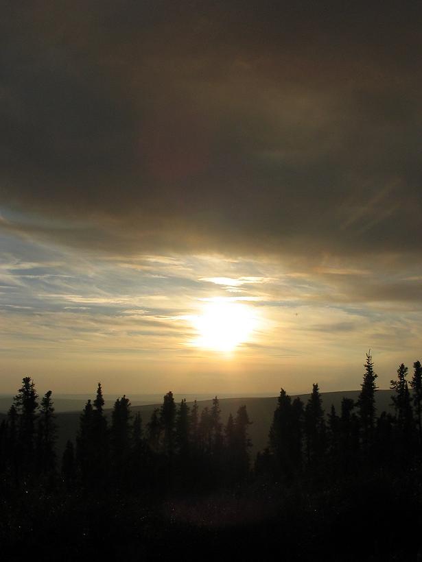
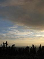
From the Eagle Plains Hotel, we looked east, to see the smoke trailing off into the distance.
|
And we thought this was just haze.
|
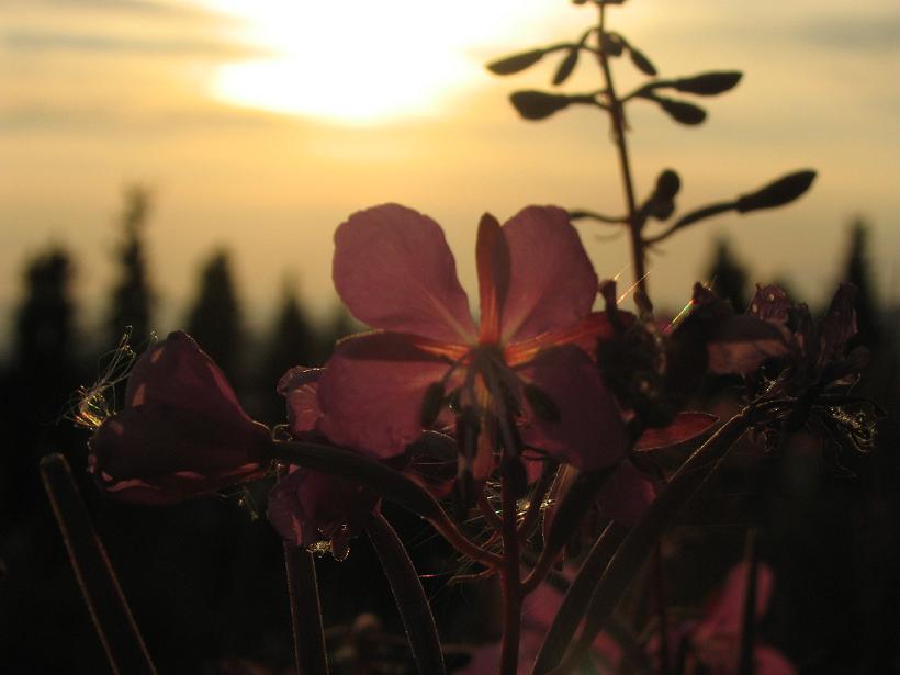
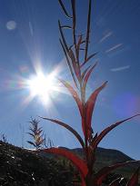
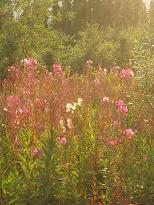
The sun hides in the smoke in the background, and the fireweed blossoms just hang on before fall.
|
|
|
|
|
The arc of the smoke above the fireweed blossoms is quite nice.
|
We just love fireweed. It is the territorial flower, you know.
|
Even with the smoke, the flowers look bright from the proper angle.
|
|
|
|
|
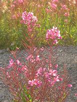
These fireweed blossoms seem to glow.
|
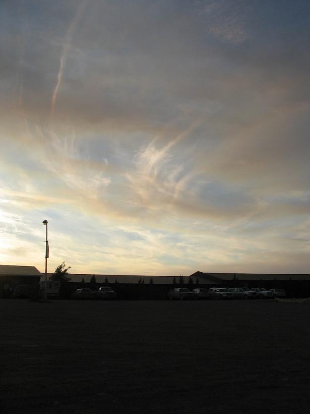
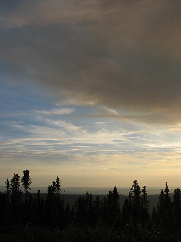
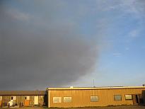
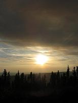
The hotel looks somewhat creepy with the big cloud of smoke over it.
|
But still, the sky is pretty, even if the air is somewhat hard to breathe.
|
|
|
|
|
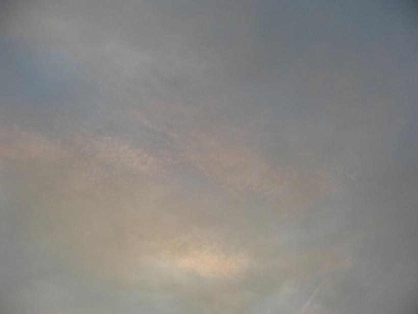
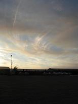
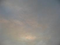
This is taken straight up into the sky, catching the different layers of smoke and clouds.
|
In person, the smoke was not that dark compared to the sky, but the camera had trouble compensating. No matter, the result is great.
|
You can see more of the blue under the smoke here. Each picture is dramatic in its own way.
|
|
|
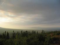
A good way to end the day is a picture of the sunlight filtering through the smoke in the distant valleys. This picture makes the landscape look enchanted.
|