Aurora Creative Services is proud to bring you:

Mawlers’ Big Adventure ’04:
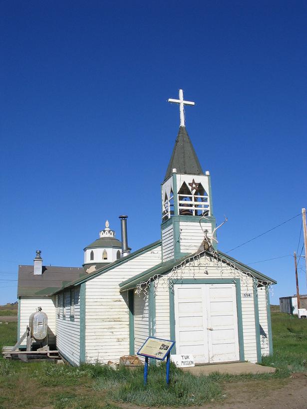
Tuktoyaktuk - The Pictures


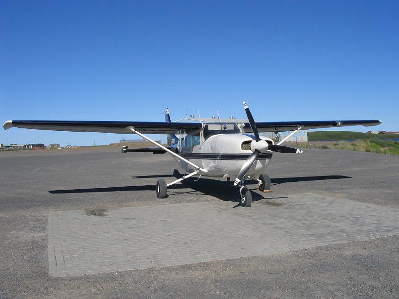
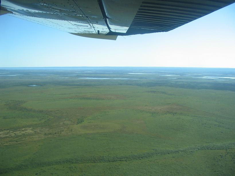
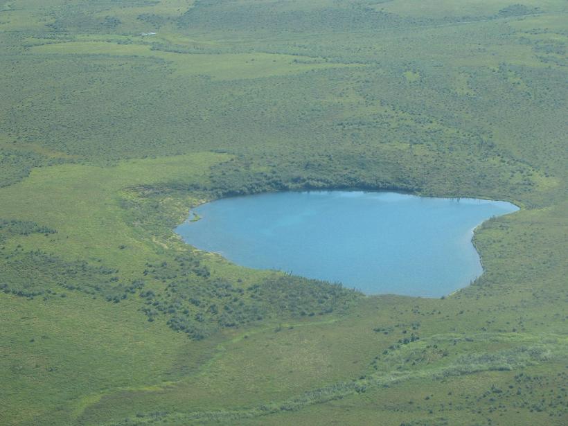
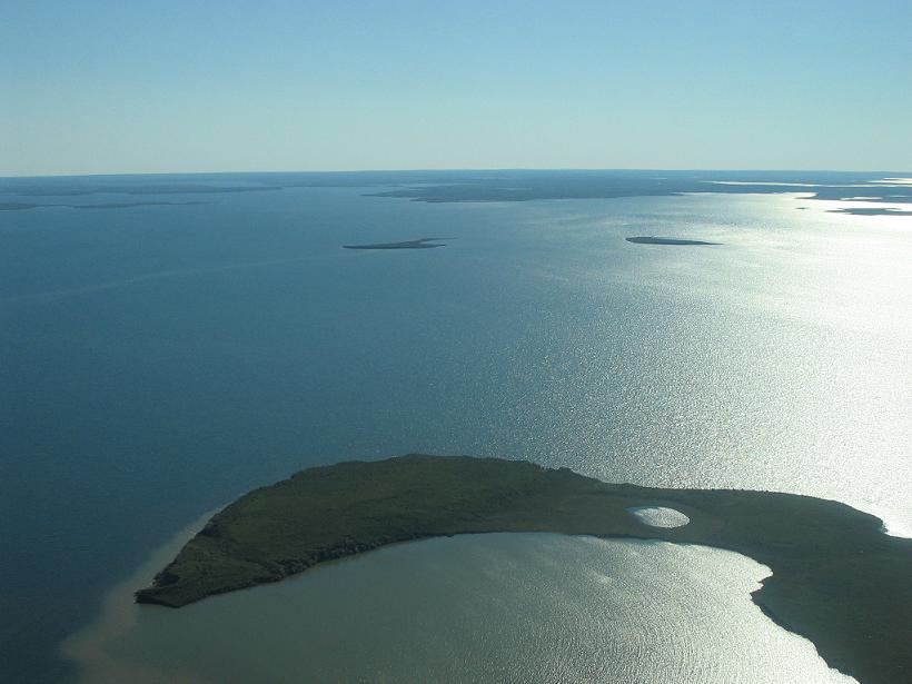
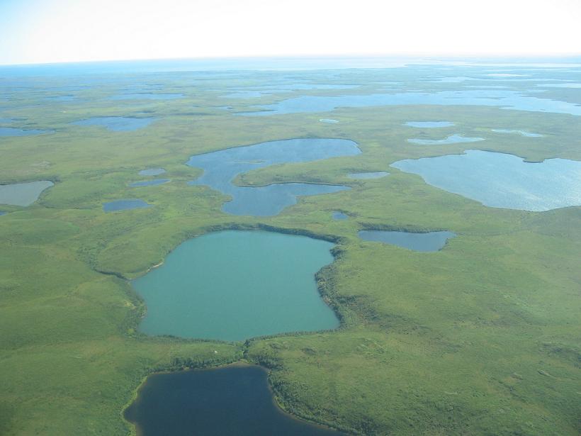
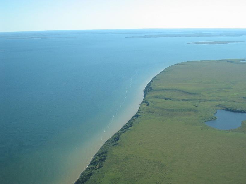
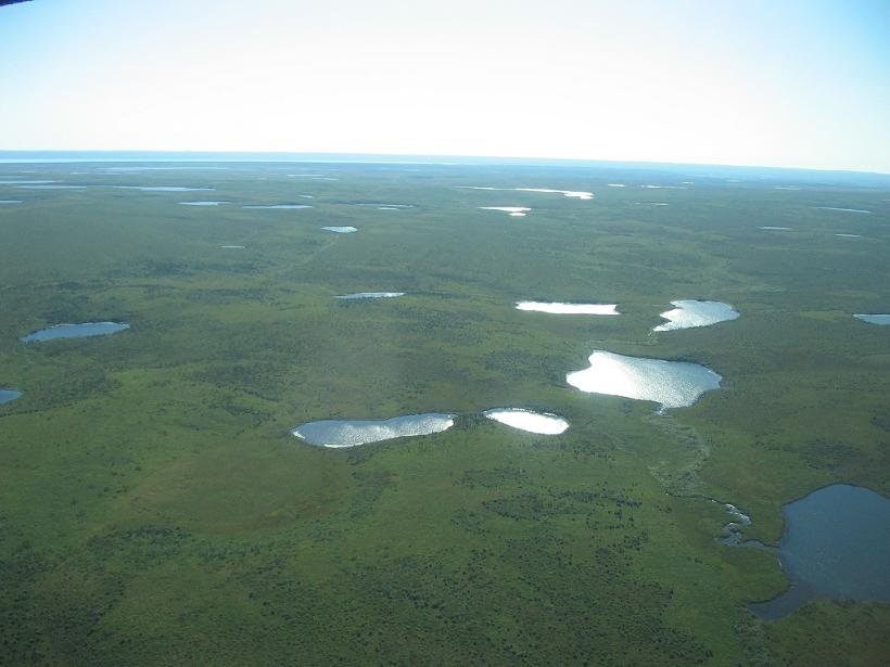
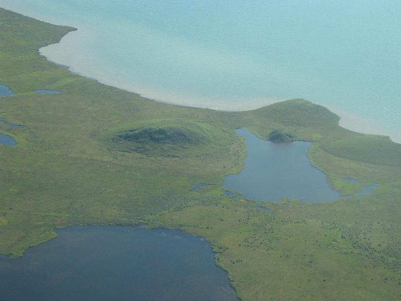
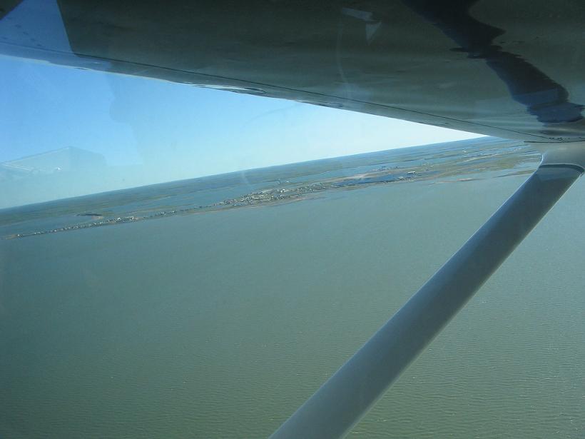
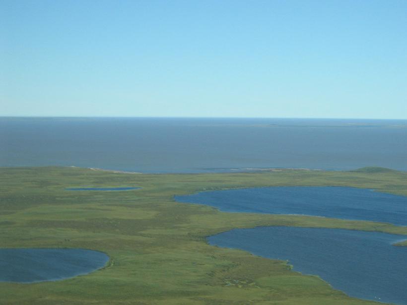
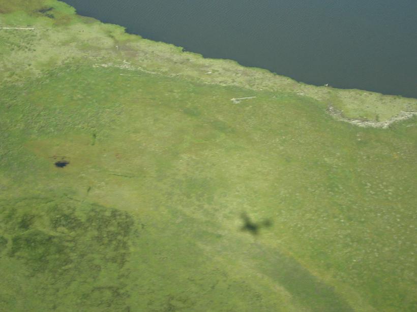
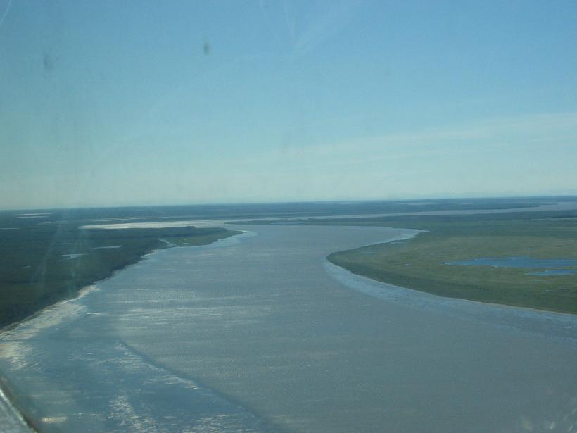
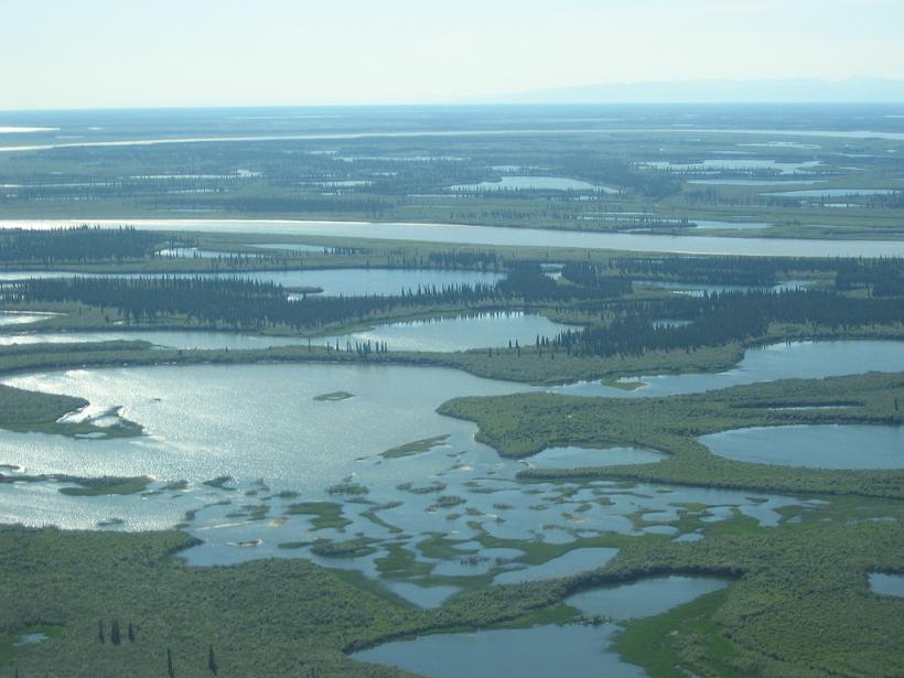
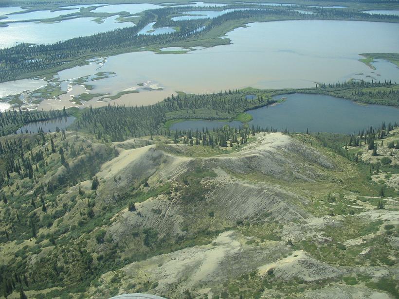
Tuktoyaktuk, more commonly known as Tuk, is the most northerly town in Canada accessible by road... Well, it's accessible from about October to April by road, but then the road melts. In the winter, there is an ice road that is built by packing snow onto the road bed (the frozen river) and then flooding it and rolling it. At it's height, it is many, many feet thick, and cars and trucks, as well as tractor trailors, make the 180km journey on the ice.

The flight to Tuk (we are there in August, so no ice roads for us) is stunning. We are in a tiny (did I say tiny?) airplane, and we fly low enough to have great views of the lakes and rivers below us.

We go to Tuk with a tour... not altogether like us, but actually not a bad way to go. We are with four other people, and we have a guide, Ricky Mac, a Tuk local.


when in the country of mosquitoes, it only makes sense to take mosquito airlines, right? actually, despite the size of the plane, this flight was as smooth or smoother than many commercial flights we have taken.
here, you can see that we are seeing the landscape under the wing of the plane.
there were tons of beautiful blue lakes that we could see clearly... the problem was focusing on them while flying above them at a couple hundred miles an hour!


the afternoon sun (it seems to always be afternoon here...) was lovely reflecting off of the lakes.
many lakes up north are a startling turquoise color because of the sediment, or a milky color of glacier run-off. there are also just plain green-brown lakes like home... but, it seems unusual to see all of these so close together!
doesn´t this seem more like hawaii than the arctic?


more of that reflecting sun...
the small hills you see in this shot are pingoes, land formations caused when water seeps into the bedrock and freezes, expanding and forcing the ground upward into a hill.
Tuk has the 2nd largest Pingo in the world. (the largest is Alaska.) this is a picture of the pingoes in Tuk from the air. The one on the right is the larger, at 50 meters tall.


here you can see Tuktoyaktuk under the wing. (Tuk'ed under the wing...)
Ricky Mac posed for us by the sign welcoming visitors to Tuk. he tried to teach us to pronounce the welcome phrase (at the bottom of the sign), but I don´t think anyone actually got it right.
this is a distant early warning (DEW) site, built during the cold war by the U.S. to get an early radar signal if the U.S.S.R. decided to send anything over the top of the world.


the pingoes from the ground.
the Trans-Canada Trail is a freaking huge, huge trail that runs from the east coast to the west coast of Canada and branches north and south. this is the marker for Tuk, the northernmost point on the trail...
here you can glimpse Lea Ann in the Arctic Ocean... well, you can see her knees and her splash, anyway.


Ricky Mac took us to see the churches in the community, which were built in the 1890s. This is the first, still used today..
the weaving and crafts on the inside were done by local church-members.
this is the other church in Tuk, also built in the 1890s, and also still used.


here is a look at the 2nd church from the other side.
stuart spent some time taking pix of the cross...
and the bell...


inside the church there were local crafts here, as well.
this is a traditional Inuvialuit house, made of earth and sod with a log roof and skins on the floor.
back in the plane, we have an excellent view of the arctic ocean.


on the way back, we got the best view of the pingoes.
i always love seeing the shadow of the plane i am in... :-)
this is the MacKenzie River.


water, water, everywhere.
the terrain varied greatly in the 180km between Tuk and Inuvik.
while you probably can't tell, take my word for it. this is a herd of caribou on the banks of the MacKenzie.


The previous installment:
Swimming in the Arctic

The next installment:
Sunshine on my Dempster

Back to Great White North Trip main page


Back to Mawler Home

All materials © 2004 Lea Ann Mawler & Stuart Mawler